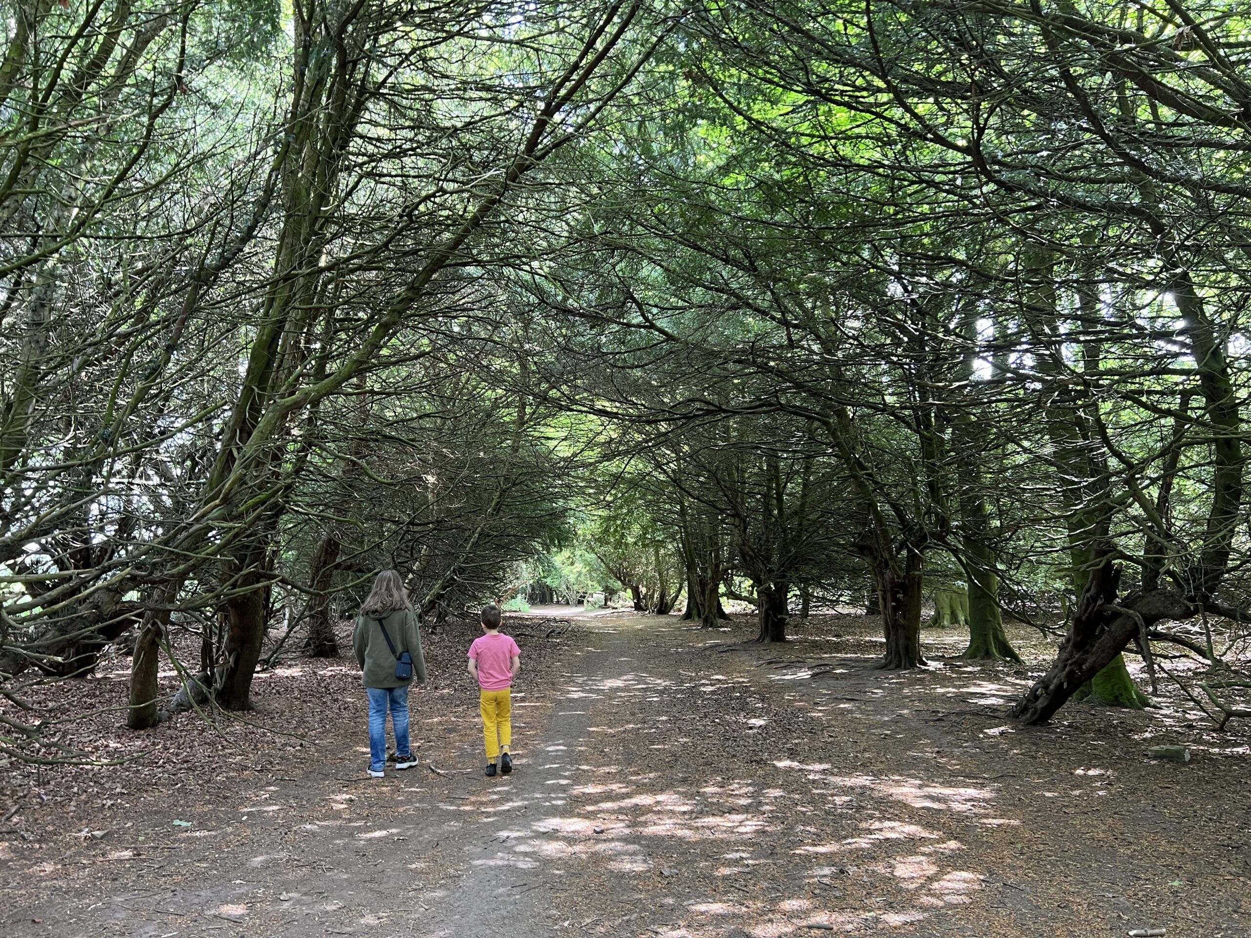
{Edinburgh} Family Walk – from Buckstone to Seven Acre Park/ Mortonhall
We enjoy going for family walks (well, the boys would probably prefer to stay home all playing playing computer games these days, but once we get them outside they enjoy it too). We are blessed with having access to many nature walks here in Edinburgh, and today’s walk is one we discovered about two years ago but I’ve only just gotten round to writing up. It’s situated in the South of Edinburgh, and the starting point can be reached by bus.
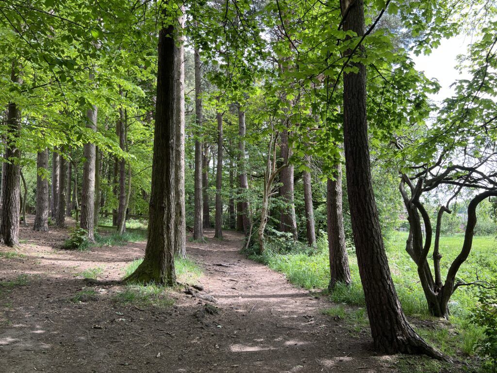
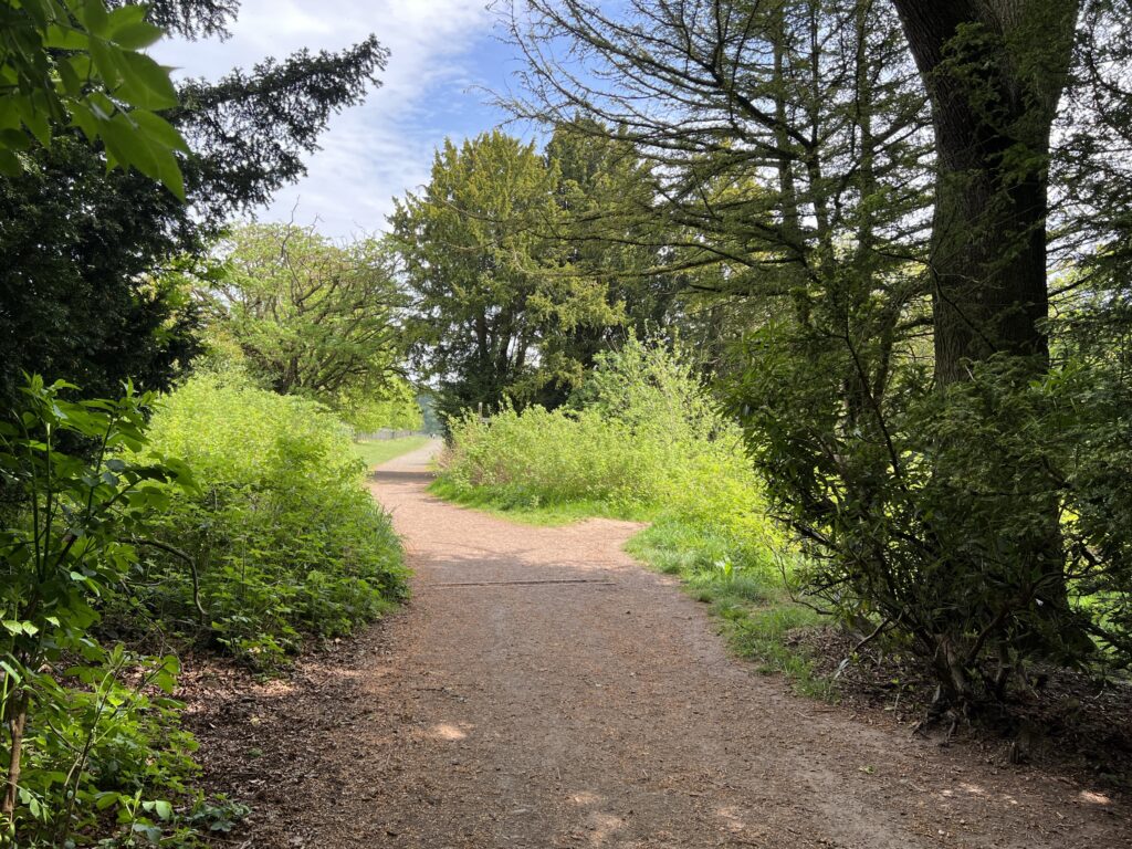
The walk is a linear walk, and connects Buckstone Park with Seven Acre Park, crossing through the Mortonhall Estate. We always start at the Buckstone End, but you could of course also do it the other way round. It’s not very clear on the default Google Maps view, and if you ask for the route from Buckstone Park to Seven Acre Park Google Maps will try to take you back along the main road, which is almost twice as long and not a very nice walk at all. A friend of mine gave us the tip that you can walk through the woods at Buckstone to get from one park to the other, and I’ve now created my own map with the route that we took:
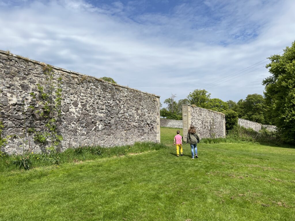
The default view of my map shows two routes – one goes directly from Buckstone Park to Seven Acre Park, and is more even underfoot. The other takes a detour via the Walled Garden on Mortonhall Estate. Part of this route is very uneven with lots of tree roots, so if you have e.g. a pushchair with you or someone who is not so steady on their feet, I would recommend the direct route.
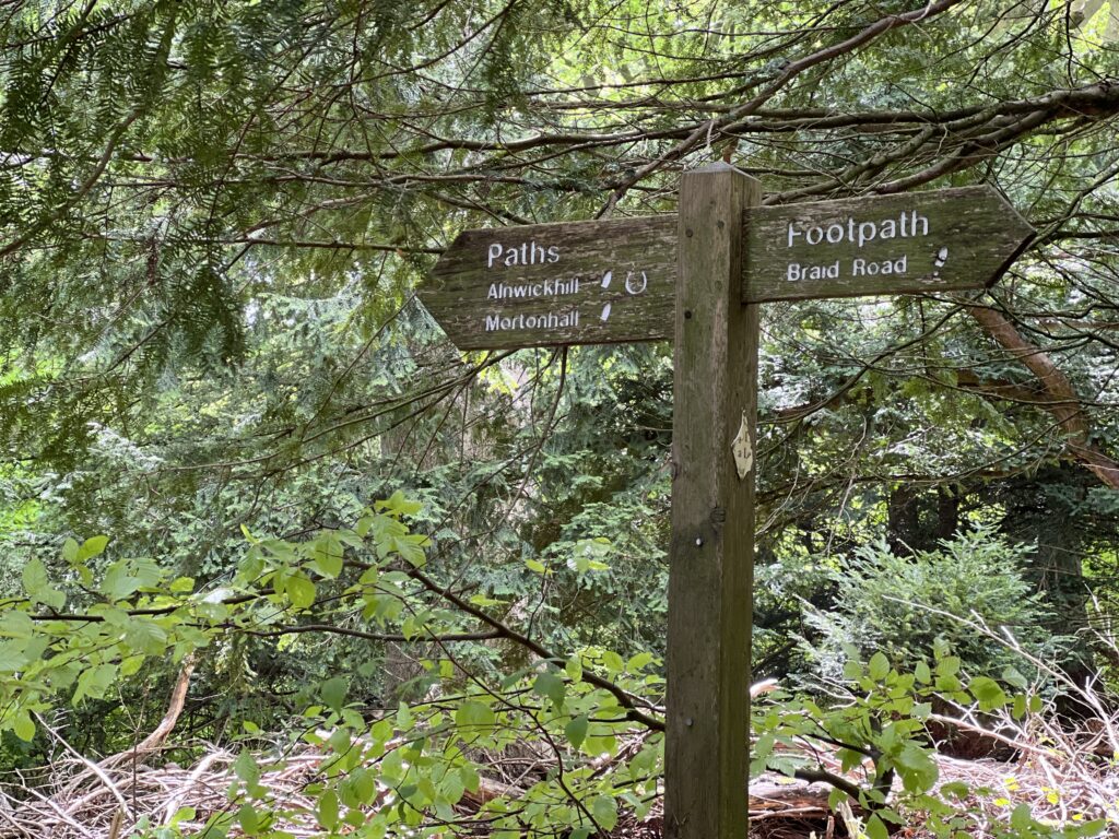
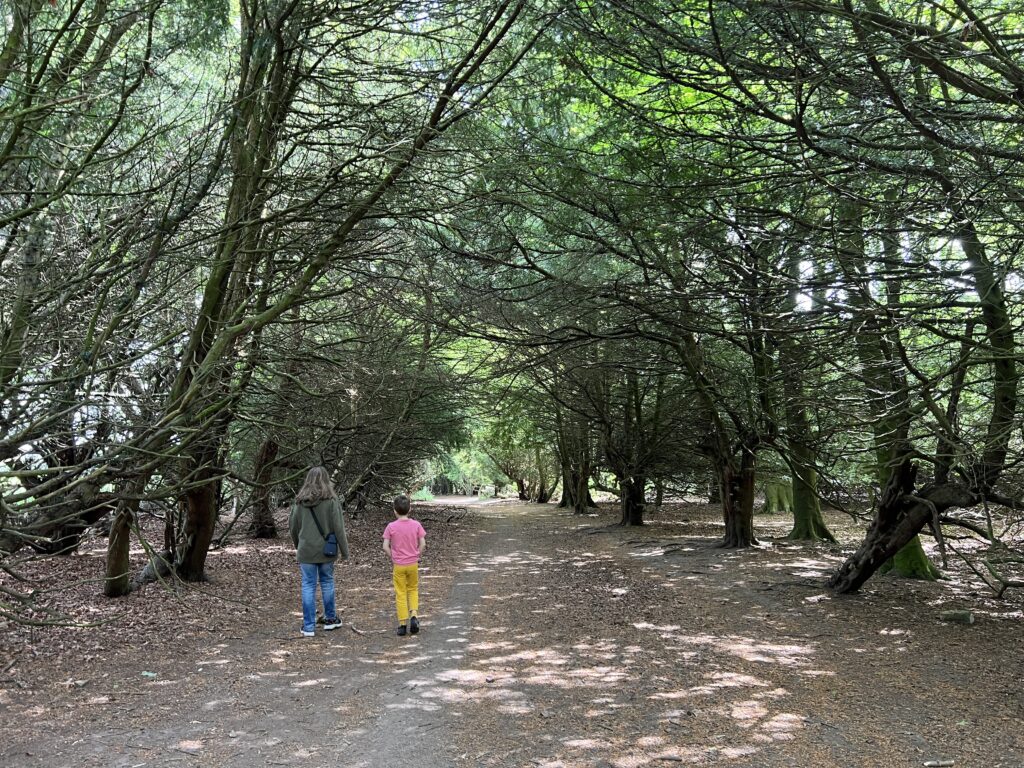
I’ve also marked the nearest bus stops on the map, as well a couple of landmarks including the two parks/ playgrounds, some places to stop for lunch, and the field where you can see Highland cows (though sometimes they are on the field opposite the one on the map).
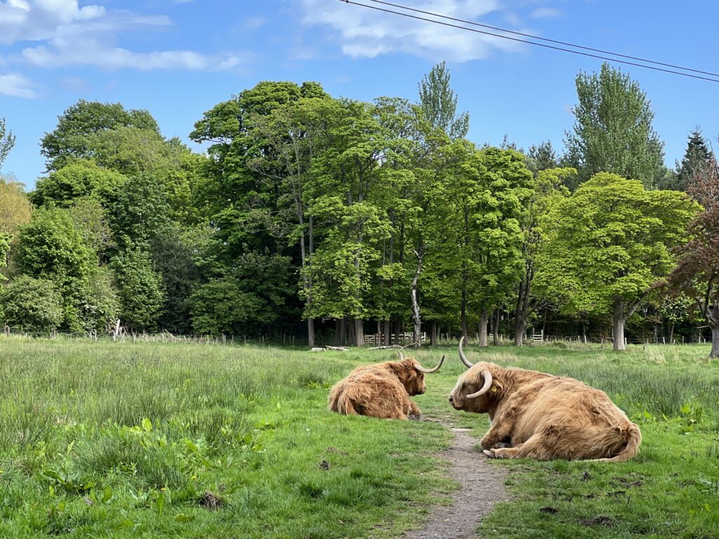
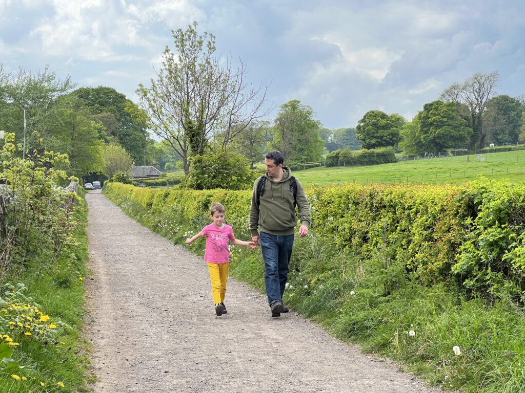
It’s not a very long walk, maybe 20-30 minutes, depending on who you have with you and how much you stop along the way. The first time we did this walk, we started out at the playground at Buckstone Park, then did the walk via the Walled Garden to Seven Acre Park, spent some time at the playground there, then walked down to Mortonhall Garden Centre – stopping to admire the cows on the way – had lunch at the Garden Centre cafe, then took the bus home from there. When the kids are not in the mood for a longer outing, we sometimes just go from Buckstone Park directly to the Garden Centre (if you click on the icon in the top left corner of the map, it will show you the different layers, and if you scroll down there’s also routes for ‘Buckstone to Garden Centre’ and ‘Garden Centre to Seven Acre’ that you can switch on).
If you want to use this map on your phone while you’re out and about, just click on this link to open the map directly: OPEN MAP
For further information about the parks at either end of the walk, read our previous reviews:
How to Get There
If you want to do the walk from A to B, then the 11 bus is the only one which stops at both Buckstone and Mortonhall. This would include going via Mortonhall Garden Centre, so either Buckstone – Seven Acre – Garden Centre, or Garden Centre – Seven Acre – Buckstone.
The nearest bus stops are “Fairmilehead Crossroads” on Buckstone Terrace (ca. 10 minutes walk from Buckstone Park) at one end, and either “Mortonghall Gate” (from the city centre) which is right outside the Garden Centre or “Mortonhall Park Avenue” (to the city centre) which is about 2 minutes down the road from the Garden Centre.
*****
If the 11 bus is not convenient for you, then there are other bus options that leave from either the Buckstone end OR the Seven Acre end. This would mean doing the walk both ways, so that you start and finish at the same end/ bus stop. Your options at Buckstone are:
Fairmilehead Crossroads on Buckstone Terrace : 15, 101, 102
Fairmilehead Crossroads on Oxgangs Road: 4
And at Seven Acre, if you exit east towards Liberton Gardens, there are three bus stops all fairly close together, the same buses stop at all of them:
Alnwickhill Road/ St Katherine’s Brae/ Little Road on Liberton Gardens: 7, 37, 47
We’ve never taken the bus from there before, so I can’t say if any of them are better suited than the others, Google Maps suggest they are all a similar distance depending which path you take. I’ve only marked one of them (“Little Road”) on the map, which looked the closest.
Thank you for reading my blog. I like to keep my blog ad free, to not impede the reading enjoyment. However, if you are able and would like to support me with a small donation, which helps to keep this blog running, it would be much appreciated. Just hit the support button below. Thank you x




Pingback: {Edinburgh} Family Walk Around Torduff Reservoir – The Bear & The Fox
Pingback: Christmas Holiday Activities in Edinburgh 2024/25 – The Bear & The Fox